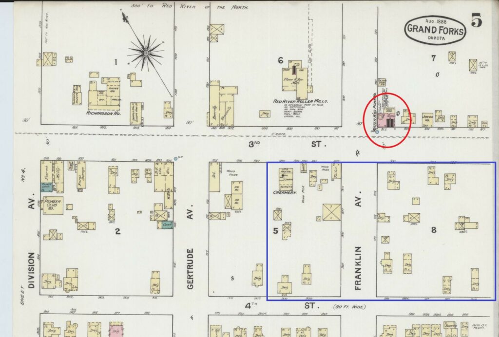
The 1888 Sanborn Fire Insurance map indicates the City’s first Water Works Power House was located at the corner of 3rd St and Franklin Ave, opposite the site of where the Water Treatment Plant was ultimately built. The complex occupies a long history with multiple construction phases. The earliest building on this site was constructed in 1939 with an expansion built adjacent in 1956. The 1939 building was then replaced in 1968 with a final phase added in 1984.
The first superintendent of the Water Works Pump House was John Lunseth who arrived in Grand Forks in 1887 to take on the role. The Lunseth name continues to be synonymous with the plumbing trade in Grand Forks since his son Oscar Lunseth established Lunseth Plumbing and Heating in 1935. It would be Oscar who would oversee the first major expansion of the newer Water Treatment Plant while serving as the City’s Mayor in the 1950s, a period of significant growth in Grand Forks. One impetus for the expansion was to facilitate pumping water to the new Grand Forks Air Force Base which opened in 1957, fifteen miles to the west of the city.
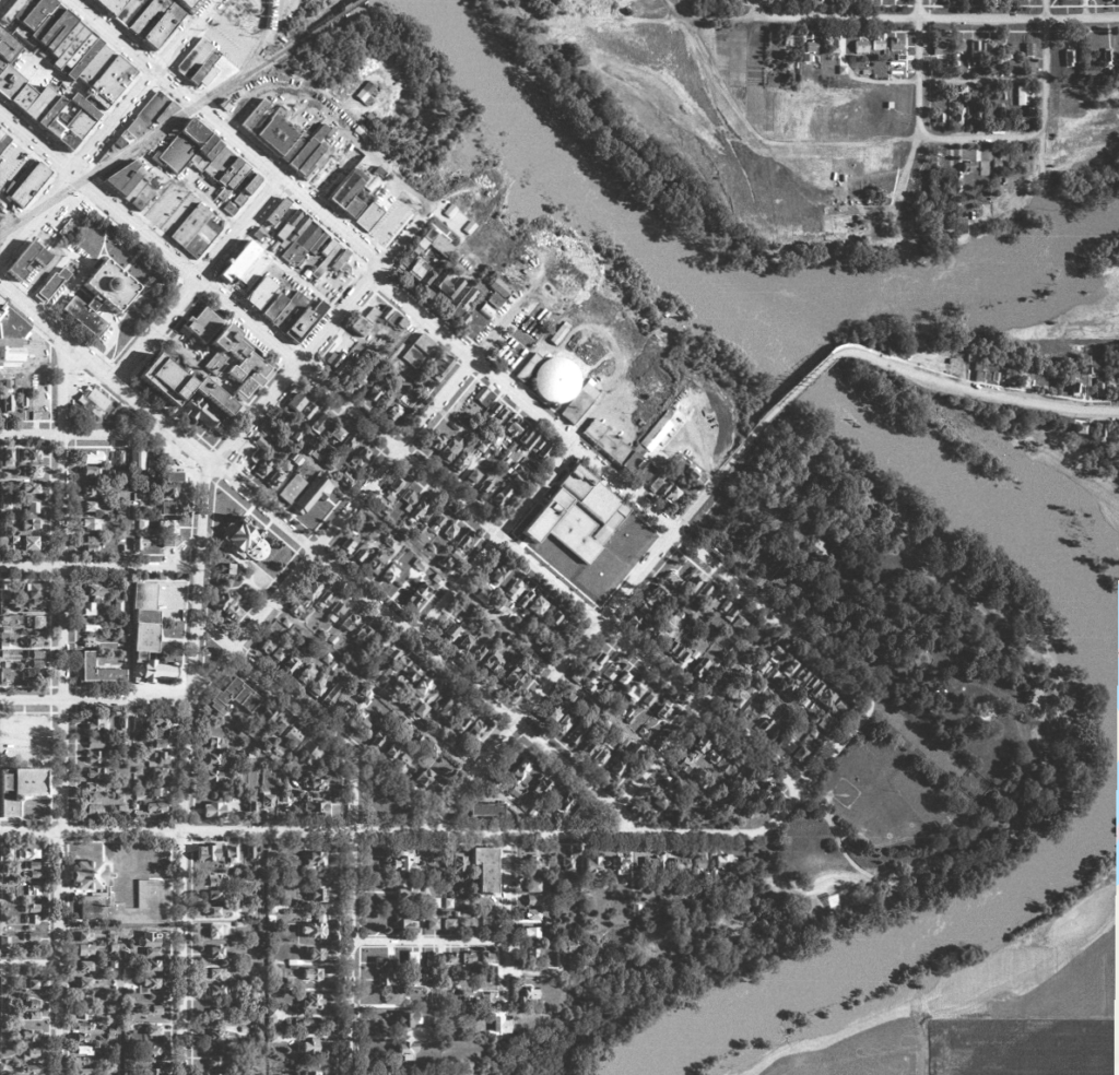
Its location close to the river unfortunately guaranteed that the Water Treatment Plant was inundated during the historic 1997 flood. Other water infrastructure adjacent to the Plant, including the Water Reclamation System building and the 3rd Street water tank were subsequently demolished to allow for the construction of the floodwall.
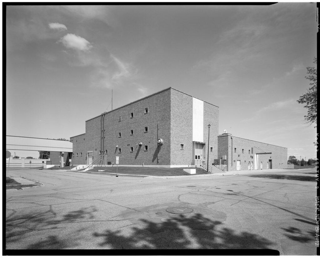
The old Water Treatment Plant was decommissioned in 2020 after a new facility was opened on the west side of I-29. The Grand Forks Historic Preservation Commission and the City of Grand Forks issued an RFP to document the old facility ahead of its inevitable redevelopment. In 2022, Urbana Preservation and Planning completed the following HAER (Historic American Engineering Record) report which has been submitted to the National Parks Service and is also on file at the State Historical Society of North Dakota and Special Collections at the University of North Dakota.